Geospatial MLOps is a set of practices that aims to deploy and maintain machine learning models for Earth Observation imagery in production reliably and efficiently.
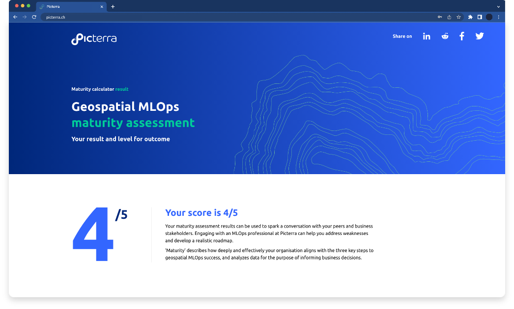
Whether you’ve already invested in machine learning or you’re just getting started, there are countless areas where you can make small adjustments to create a big impact. By responding to our series of questions across three key areas of the machine learning life cycle – operationalizing, productionzing, and monetizing – we’ll help you:
Chart your responses against leading practices
Access specialist advice on how to take your efforts to the next level
Prepare an action plan for improvements
