About this whitepaper
With the increased demand for minerals to support decarbonization pathways, everyone benefits from safe and sustainable mining operations. The use of drones for mine surveys allows for more rapid data collection across sites, nearly over 20x faster than using traditional methods carried out by personnel on the ground. Additionally, high-resolution satellite imagery has become an indispensable means to monitor the varied facets of the mine environment.
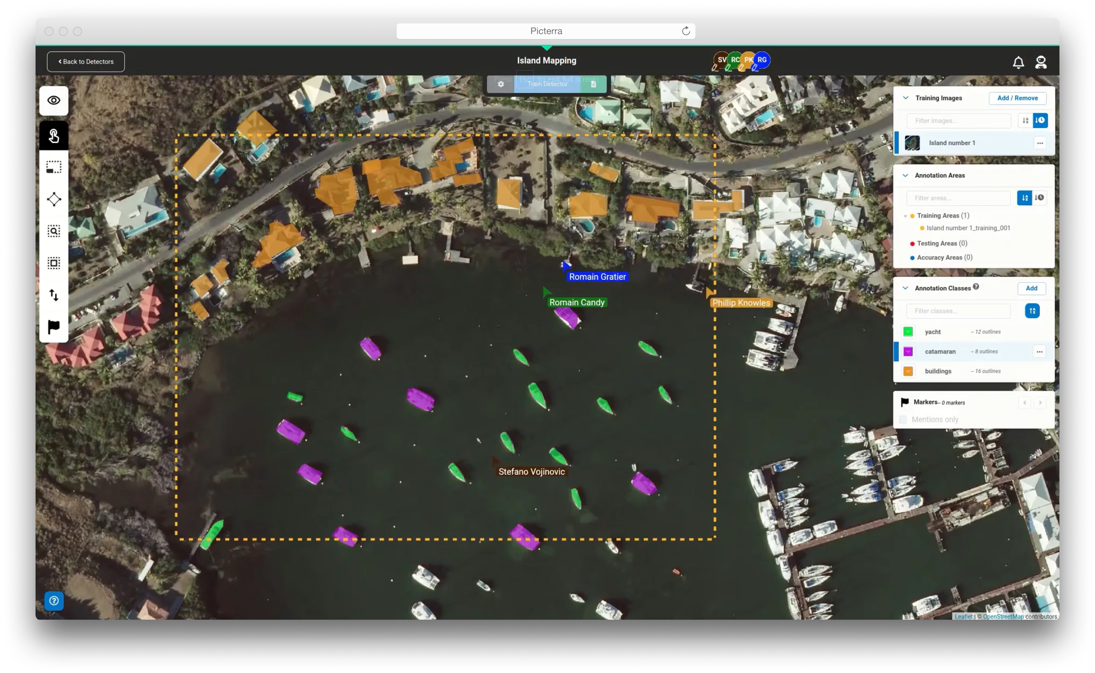
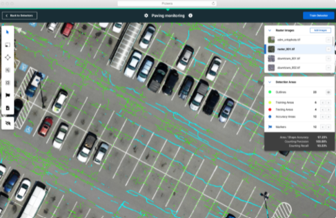
Of course, both sources generate a wealth of geospatial data which traditionally would need dedicated personnel to review images and create annotations—a serious time investment. Advanced mining companies should rather invest in a geospatial machine learning (ML) platform to speed up the workflow and take advantage of AI to reduce human error.
Use cases of such a platform range from monitoring the impact on local ecosystems to assessing haul road conditions and post-blast sites; and identifying water bodies that could pose a risk to workers and equipment. In this whitepaper, we take a closer look at how a geospatial ML platform such as Picterra can improve efficiency and safety across the mining sector.

Read the whitepaper now
Please fill out the fields below