About this webinar
Are you working with satellite or drone imagery and other types of spatial and non-spatial data?
Are you struggling to use such data to its fullest potential, ensuring it can flow freely no matter where, when, or how it’s needed?
Register now to view our on-demand webinar where we were joined by Safe Software, the makers of FME, leaders in the technology world that strive to stay one step ahead of the data integration trends.
You will learn:
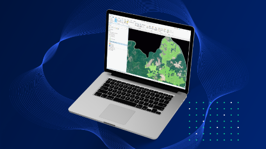
- How to use Picterra's state of the art AI platform to detect objects, patterns, and change in satellite and drone imagery in hours rather than days.
- How to use FME to connect your spatial data to Picterra and optimize your raster (satellite, drone, and aerial) imagery.
- How to create advanced workflows to automate the transformation of data and report results in a wide range of formats and platforms.
We were also joined by special guests the European Union Satellite Centre (EU SatCen) who demonstrated how they use the integration between Picterra and FME to improve the accuracy and availability of open-source data for a wide range of use cases.