About this guide
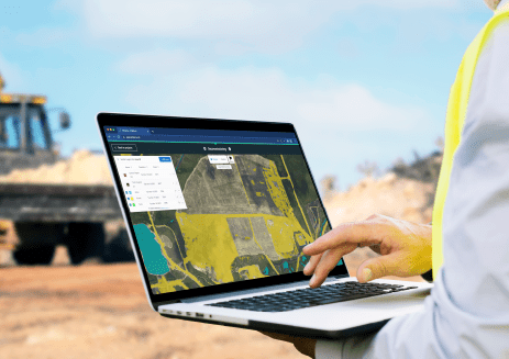
Navigating the realm of change detection in imagery data can be complex. Whether you're dealing with satellite images, aerial photos, or other forms of geospatial data, understanding how to accurately identify changes is essential. Our guide, "What is Change Detection?", aims to provide a balanced overview of this important field.
Change detection is a key competency for many industries, including environmental monitoring, urban planning, and infrastructure maintenance. This guide aims to offer a straightforward introduction to the topic, while also providing specific methods and approaches to those looking to deepen their understanding.
What You Will Learn:
- Context Matters: Gain insights into how the scope and context can influence what you're actually able to detect.
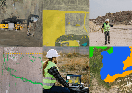
- Types of Changes: Understand various scenarios where change detection is applicable, such as objects appearing, disappearing, or changing in appearance.
- Methodologies: Familiarize yourself with two primary ways to approach change detection, each with its pros and cons.
- Adaptability: Find out how these methodologies can be tailored to meet the specific needs of your project.
Ready to elevate your expertise? Download our guide now!

Read the guide now
Please fill out the fields below
.png)